Numerical Modeling

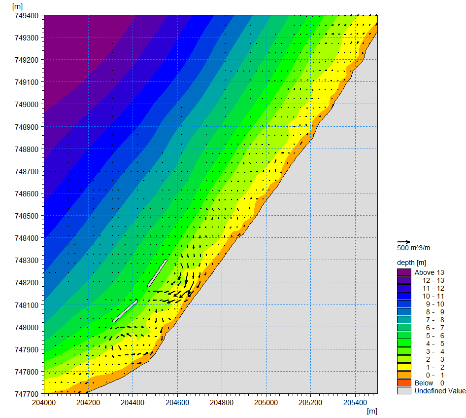
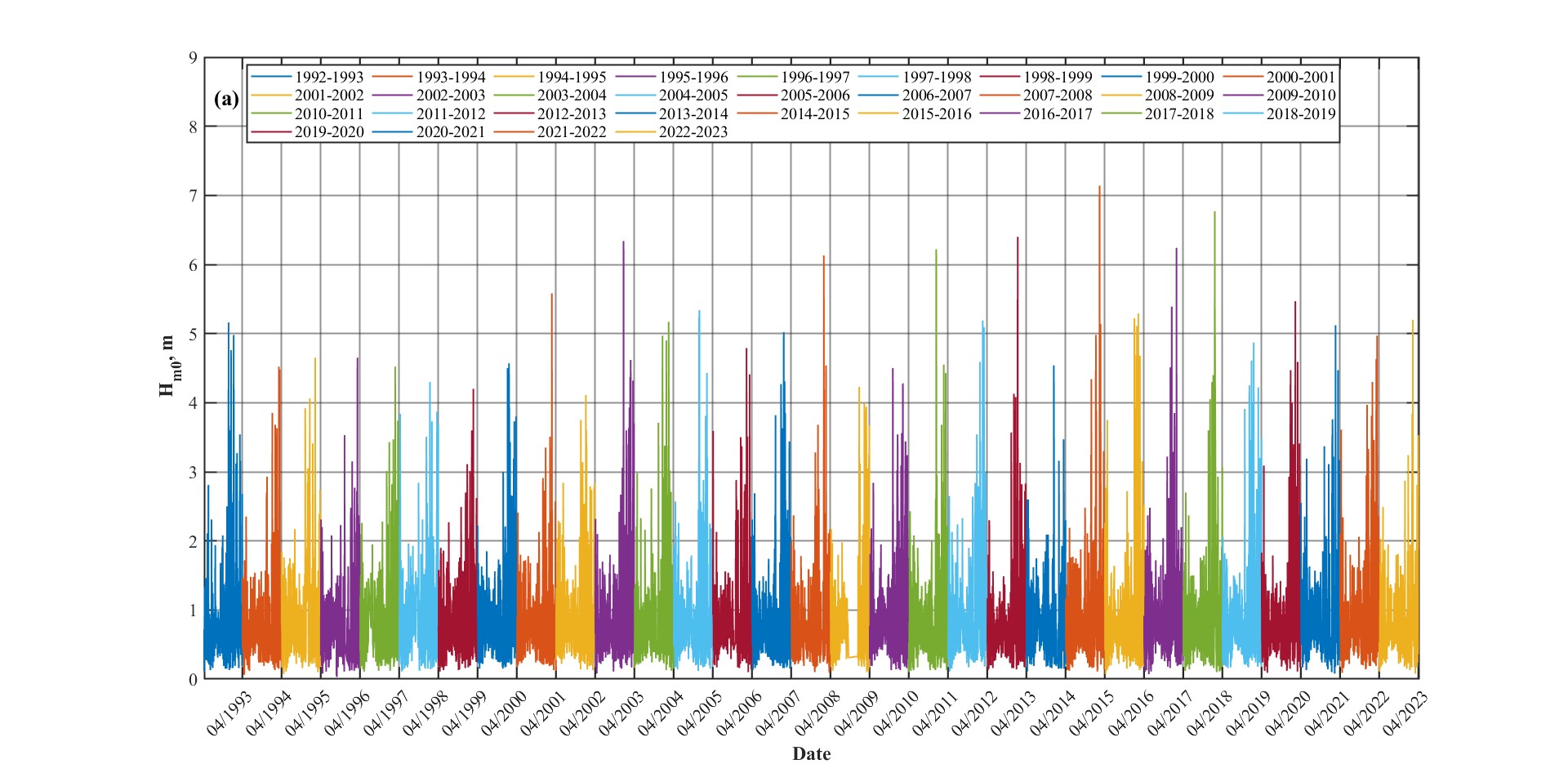
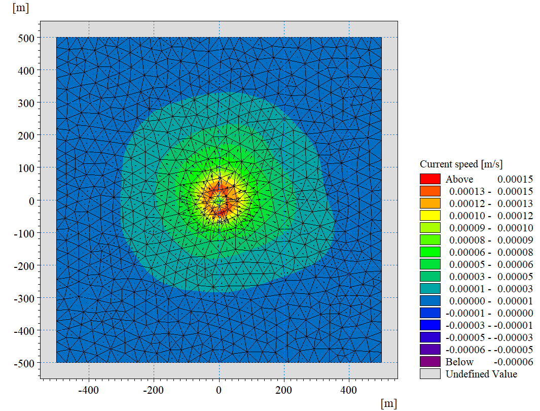
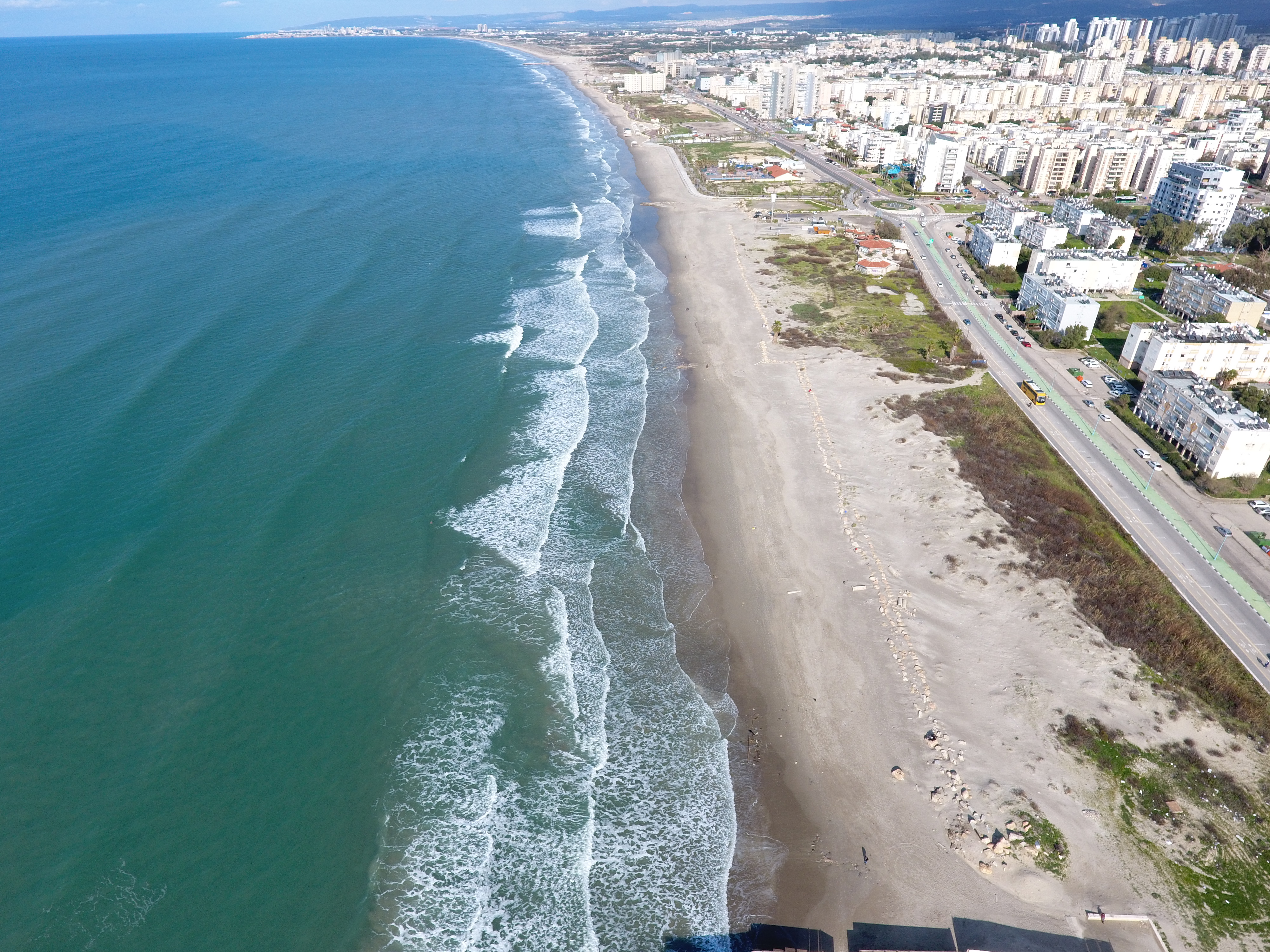
Numerical modeling consists of predicting changes in waves, currents, sediment transportation, shoreline location, and other physical measurements due to potential changes in the built marine and coastal environments. These models are also beneficial for measuring beach erosion and environmental impacts of marine structures.

Main Services

Environmental Survey

Before building in the sea or along the coast, the Ministry of Environmental Protection requires a numerical model to predict the effect of the new structure on the marine environment. Our numerical modeling team use numerical models to predict the trends of sediment transport, wave and current fields, swimming conditions, and more.

Breakwater Design

Designing and building effective breakwaters is a joint effort by many stakeholders. Our team models the environmental impact and sediment accretation along the shoreline of different breakwater layouts.  This allows stakeholders to pick the design which fits their needs the best.  

Annual Beach Monitoring

Our team performs annual surveys on Israeli beaches to track shoreline changes and the effectiveness of nourishment, especially around the winter months. The annual survey combines aerial photos and bathymetric measurements taken before and after the season’s storms to reveal  changes in the shoreline, including erosion and sediment transport.

Contact our team for more information about our numerical modeling services